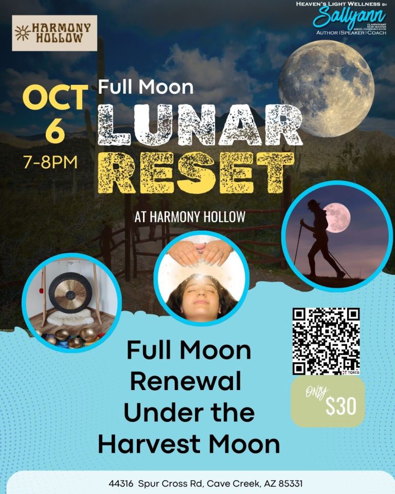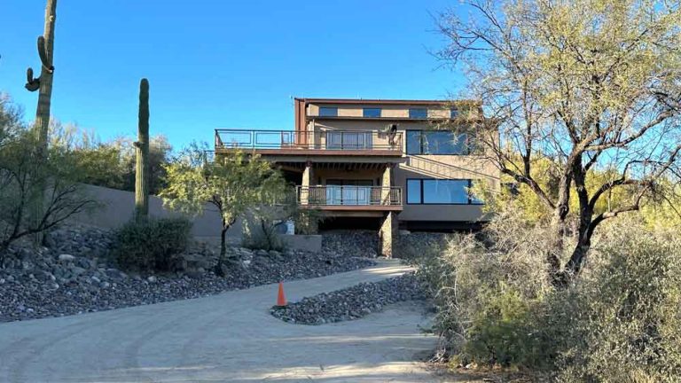
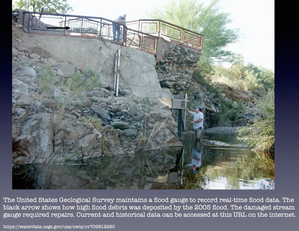
The Stamp Mill property, which is just across the creek from Harmony Hollow has a U.S. Geological Survey station that monitors water flow in the Cave Creek. They come out every couple months and change cartridges in their equipment.
We knew the water got high at times. If you look at the man in the water, we’ve seen it up to right above his head, which measures eight feet. You can see what that looks like in the post I wrote about our flood experience.
I cannot even imagine what it would be like with the water running to where the black arrow is on this photo. I’m surprise that the Stamp Mill patio didn’t crumble away. Skip, the previous owner, did a great job when building it.
We didn’t own the Stamp Mill property back in 2005 but we were living in the area. During this flood we were stranded about half an hour from home and all of the roads leading north, where our house is, were blocked. When we finally did get home we had to park a block away and carry our two small children through neighboring yards to get to our house because on top of the flooding, a water main had broken and washed our street out. All of this, in the desert! They don’t make you buy 100-500 year flood plane insurance for you house for nothing. Gladly, we didn’t have to use it.